Showers and thunderstorms moved into the Ozarks Wednesday morning, dumping dime to nickel, even up to quarter size hail, along with heavy rain.
We have the potential for some of the storms to be strong to severe through Wednesday evening.
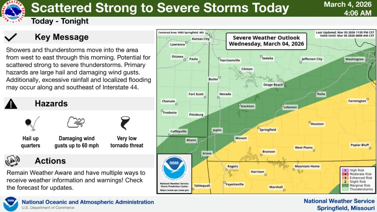
The National Weather Service says large hail and damaging wind gusts are the biggest threats, with excessive rainfall and localized flooding possible along and southeast of I-44.
The better threat for severe storms is along and south of I-4.4.
We’ll keep you up to date with any severe weather warnings on 93-3 and AM 560 KWTO.