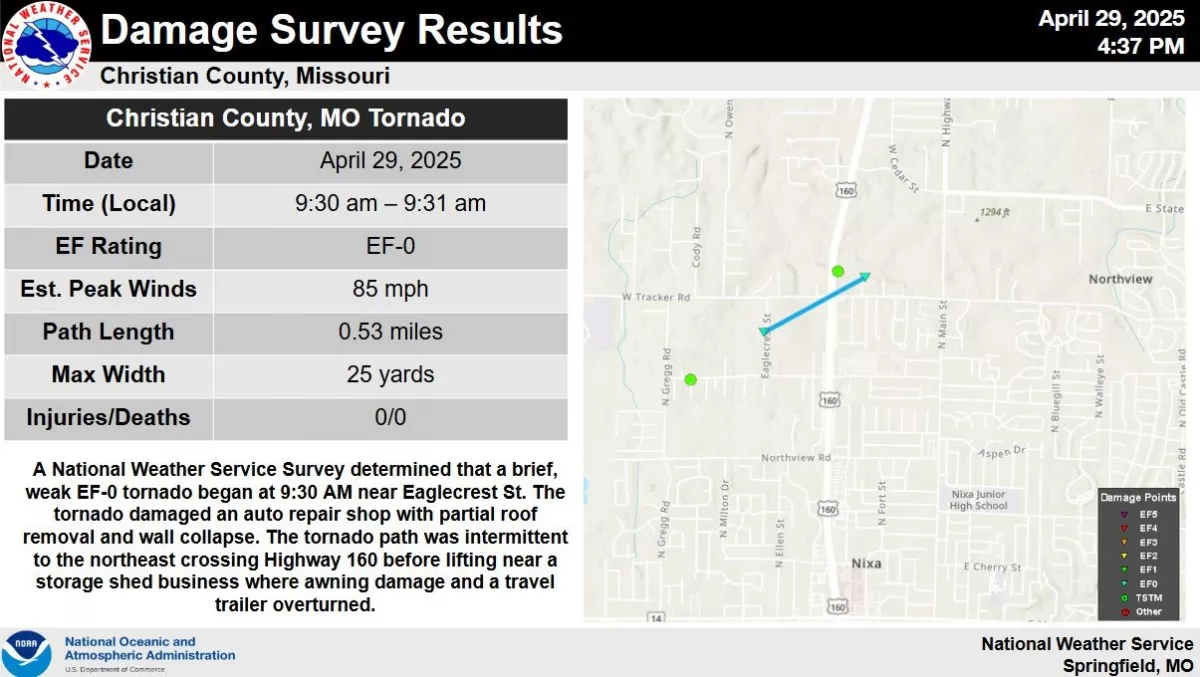
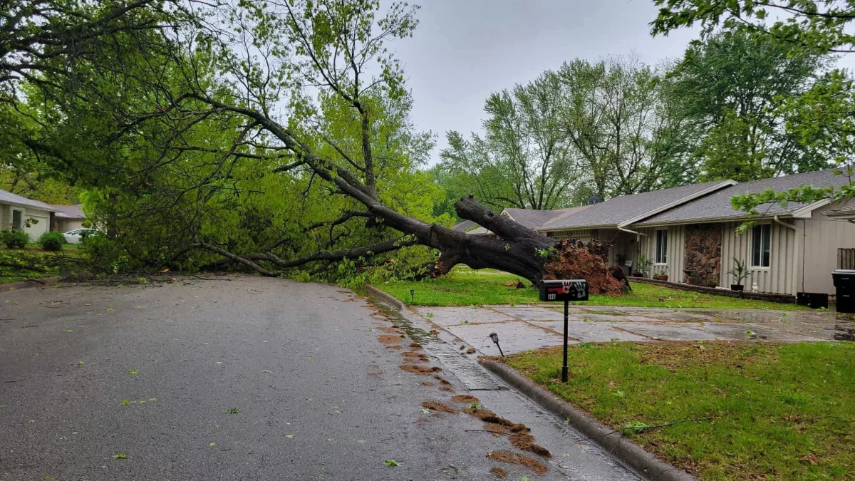
Hours after storms brought up to 90 mile per hour winds and potential tornadoes to Springfield and the Ozarks, thousands of people remain in the dark Tuesday evening.
Springfield City Utilities crews are working around the clock in an emergency situation to get power restored to more than 40,000 customers.
Here’s the latest update in a news release from City Utilities:
SPRINGFIELD, Missouri – City Utilities is working to restore power to roughly 41,000 customers after severe weather has caused significant damage across the service territory. As crews continue to assess the damage, customers should prepare for extended electric outages that may last for multiple days. For the latest information regarding electric outages, please refer to the City Utilities outage map.
All available resources have been mobilized to respond to this weather emergency. More than 60 contractors and lineworkers, along with 15 tree trimming crews, have responded to mutual aid requests from around the state. These crews are on-site and are actively assisting with power restoration efforts.
Customers who depend on critical medical equipment or medications should take steps now to prepare for the possibility of an extended power outage. We strongly encourage making alternative arrangements to ensure the safety of you and your loved ones. Your health and well-being are our highest priorities, and we’re working diligently to safely restore power as quickly as possible.
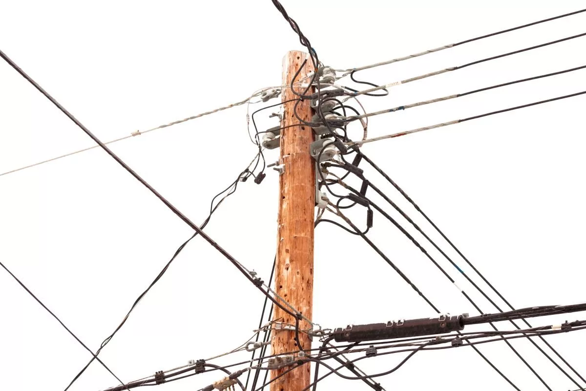
Downed power lines remain across the service area and present a significant safety hazard. If you encounter downed power lines, always assume they are energized. Stay far away and report them immediately by calling (417) 863-9000 or 911. This number is reserved for emergencies and downed line reports only.
If you are experiencing a power outage, please report it through the City Utilities MyAccount app, on our website at www.cityutilities.net, or by calling 888-863-9001. We encourage all customers with an electric outage to report it and not to assume we have record of your outage.
City Utilities remains committed to providing updates to our customers on restoration efforts. Updates will be provided through our social media channels, website, and through our local media partners. We appreciate your patience and support as we work to restore service across our community.