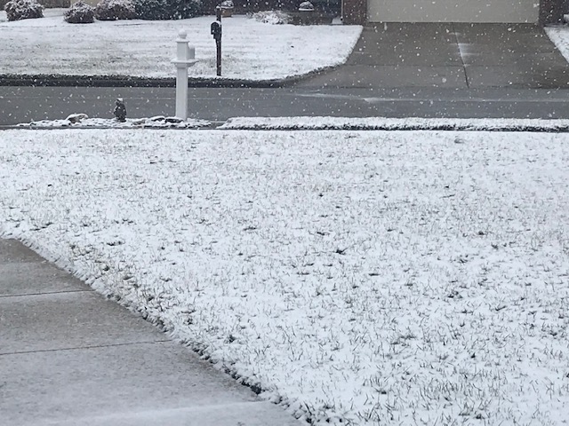
It’s a snowy Saturday in the Ozarks, with morning snowfall totals across southwest Missouri ranging from a trace amounts to more than three inches.
A Winter Weather Advisory remains in effect for all of southwest Missouri until 9 p.m. Saturday.
The National Weather Service says widespread snow amounts are expected to range from a dusting to three inches, with some locally higher amounts up to four inches for areas west of Highway 65.
Plan on slippery road conditions, especially in areas where heavier snowfall can overcome above freezing road temperatures.
Check road conditions in the Ozarks and from around the state here with the MoDOT Traveler Information Map.
By 10 a.m., road along and west of Highway 65 were snow covered to partly covered, with areas east of 65 clear to partly covered.
Snow was covering roads in the Kansas City and Jefferson City areas, with partly covered roads in the St. Louis area.
The snow should be ending between 2 and 4 p.m. in the Springfield metro area, with blowing snow through the evening.
Here are some preliminary snow totals across the Ozarks, as of 10 a.m.:
Wentworth (Newton County)—3.8 inches
Miller—-3 inches
Carthage—3.0 inches
Monett—-2.8 inches
Golden City—2.2 inches
Purdy—-2.2 inches
Lockwood—2.0 inches
Stockton—2.0 inches
Sylvania—2.0 inches
Ash Grove—1.5 inches
Nevada—1.5 inches
Morrisville—1.1 inches
Ava—1.1 inches
Bolivar—1.0 inch
Republic—0.9 inches
Galloway—0.7 inches
St. James—0.7 inches
Rolla—0.5 inches
Halfway—0.4 inches
Willard—0.4 inches
Anderson—0.4 inches