More thunderstorms are on the way to the Ozarks, and forecasters say some of them could be strong to severe.
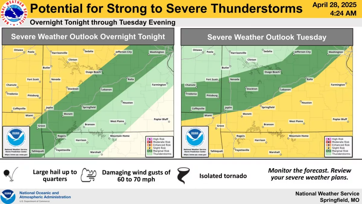
The National Weather Service says the highest chances for storms overnight Monday into Tuesday are north of I-44.
Areas along and north of a line from Joplin to Stockton to Osage Beach are under a Level 2 “slight risk” for severe storms, while the Springfield area is under a Level 1 “marginal risk.”
The primary hazards with these storms are damaging winds and large hail. The tornado threat is low.
On Tuesday, the risk shifts to areas along and south of I-44 through the afternoon and evening hours, with damaging winds being the biggest threat.
In addition, multiple rounds of showers and storms are expected from Tuesday through Thursday, leading to the potential for heavy rainfall and flooding.
The heaviest rainfall axis will be focused along and north of the interstate, with 2 to 3 inches of rain possible in the Springfield area through Wednesday night.