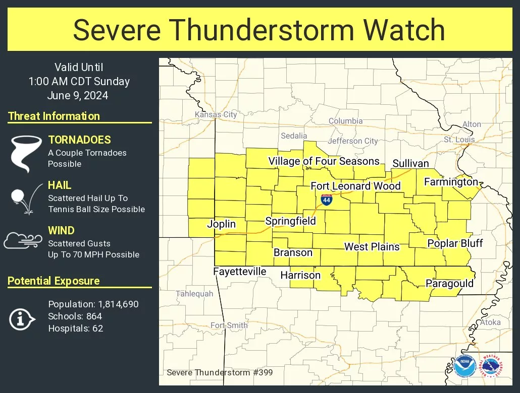
Storm began firing north of Springfield late Saturday afternoon, with a Severe Thunderstorm Watch in effect for all of southwest Missouri until 1:00 a.m. Sunday.
The National Weather Service says isolated to scattered storms Saturday evening will increase in coverage late at night, with all modes of severe storms possible, including large hail and damaging winds.
There is a low end, conditional threat for a couple of tornadoes.
In addition to the severe weather threat, flash flooding is a concern with multiple rounds of training thunderstorms.
A Flood Watch is in effect from 7 p.m. Saturday through Sunday afternoon.
Forecasters say training thunderstorms will lead to widespread rainfall amounts of 2-3
inches, with locally higher amounts up to 5-7 inches possible. This will lead to
flash flooding, including potential for considerable flash flooding where higher
amounts occur.
The location of greatest rainfall remains uncertain. There will also probably be a
cutoff in rainfall amounts to the southwest, but that location is also
uncertain.
Here’s the latest update on severe weather and flooding impacts from the National Weather Service:
Listen to 93-3 and A-M 560 KWTO for the latest updates on severe weather warnings, as well as damage reports and other life-saving information from emergency managers and the National Weather Service.
