After golf ball size hail pelted Kimberling City, Shell Knob and other parts of the Ozarks on Sunday, more severe weather is expected by Tuesday night and Wednesday.
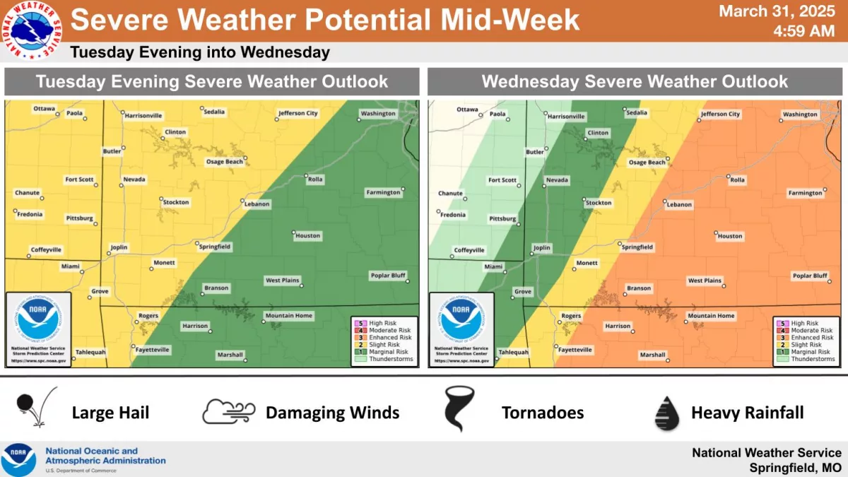
The National Weather Service says we have a conditional threat for severe storms Tuesday evening into the overnight hours, with the potential for isolated supercells along and west of I-49, bringing up to tennis ball size hail.
A line of storms could then move through the whole area overnight into Wednesday morning.
If storms do form, forecasters say the environment will be conducive to very large hail, significant tornadoes and damaging winds.
93-3 and A-M 560 KWTO will keep you up to date on forecast changes between now and Tuesday night, will report on any watches or warnings, and keep you up to date on damage reports.