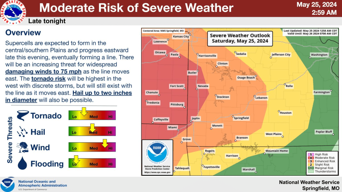
The Ozarks braces itself for yet another round of severe weather as supercell thunderstorms are expected to form in the central and southern Plains and progress eastward late Saturday evening.
The National Weather Service says those storms should eventually form a line, with an increasing threat for widespread damaging winds as the line moves east.
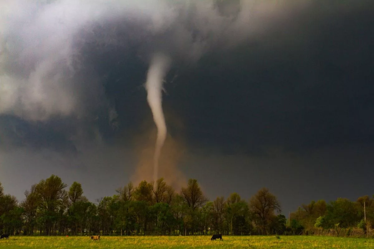
The tornado threat will be highest in the west with discrete storms, but will still exist with the line as it moves east.
Hail up to two inches in diameter will be possible.
Areas roughly along and west of a line from Joplin to Nevada are under a Level 4 out of 5 “moderate risk” for severe weather, while all but the far eastern Ozarks are under a Level 3 out of 5 “enhanced risk.”
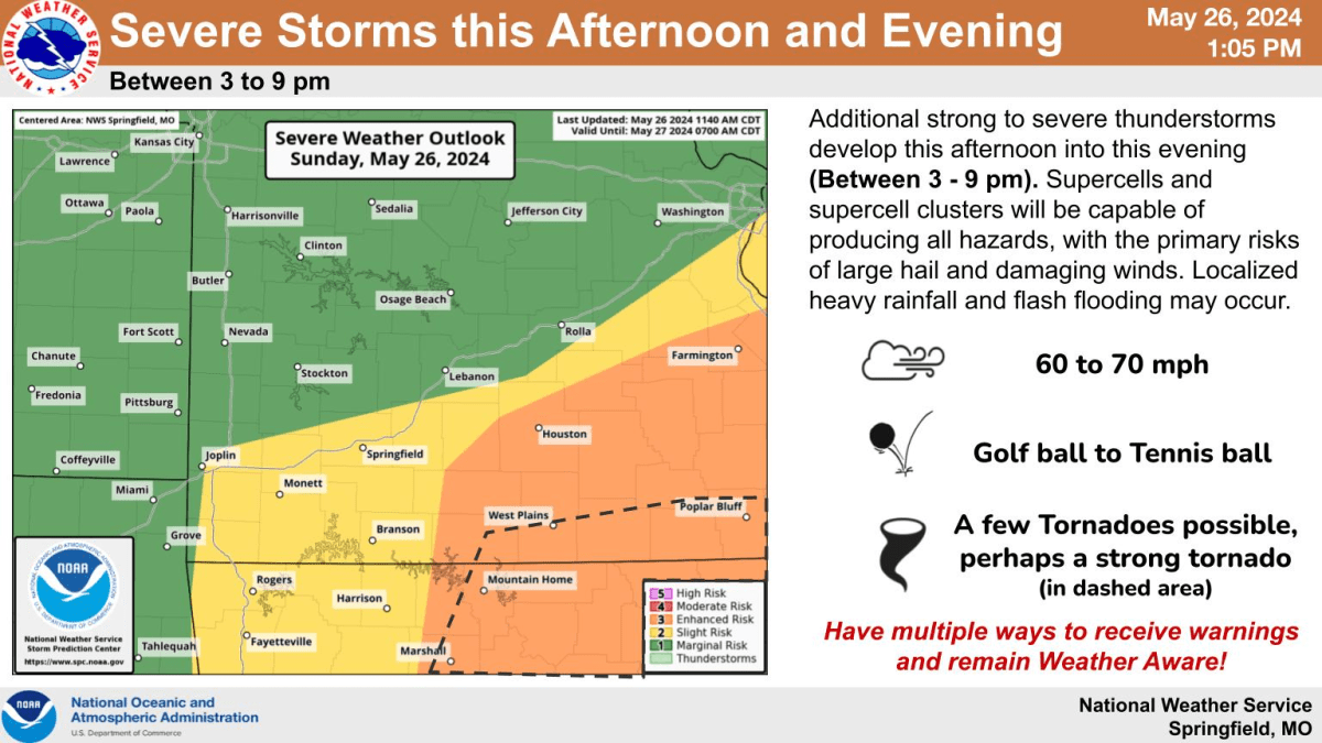
After storms push through overnight, we’ll be watching for potential development of more severe storms on Sunday.
The weather service says the highest potential for severe weather Sunday and Sunday night will be north and east of Springfield.
The Springfield metro area and much of southwest Missouri are under a Level 2 out of 5 “slight risk” of severe storms on Sunday.
Forecasters say what’s not known is how Saturday night’s storms will impact the severe weather potential for Sunday, including storm mode and potential hazards.
Click here for the latest briefing from the National Weather Service on Saturday night and Sunday severe storms.
Listen to 93-3 and A-M 560 KWTO for updates on the changing weather forecast, as well as all the severe weather watches and warnings, plus damage reports as they come in from local emergency managers and the National Weather Service.

