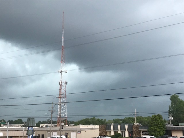
Severe thunderstorms are moving through southwest Missouri, firing up mid-morning Sunday.
All of southwest Missouri is under a Severe Thunderstorm Watch until 4:00 p.m.
The main threats will be large hail up to the size of half dollars, and damaging winds of 60-70 miles per hour.
A Severe Thunderstorm Warning has been issued for southern Barton, northwestern Lawrence, Jasper and Dade Counties until 11:15 a.m.
These storms are moving southeast at 25 miles per hour and are capable of producing 60 mile per hour winds and half dollar size hail as they track across Stockton Lake and through the cities of Webb City, Sarcoxie, Lockwood, Miller, Everton and Stotts City.
A Severe Thunderstorm Warning is in effect until 11:15 a.m. for Hickory, Dallas, Benton, western Laclede, Polk, southeastern St. Clair, and Camden Counties.
Quarter size hail and 60 mile per hour wind gusts are possible with those storms north and east of Springfield as they push across Lake of the Ozarks, Pomme De Terre Lake, Truman Lake, and the communities of Lebanon, Bolivar, Buffalo, Camdenton, Stockton and Warsaw.
We’ll have the latest warnings, as well as wind, hail and damage reports on 93-3 A-M 560 KWTO.