7:43 a.m. UPDATE: The National Weather Service has issued a Severe Thunderstorm Warning for southwestern Webster, northwestern Douglas, Christian, and northeastern Stone County. A severe thunderstorm located near Highlandville is moving northeast at 45 miles per hour and may produce 60 mile per hour wind gusts and quarter size hail as it moves through Ozark, Sparta, Fordland, Chadwick, Rogersville, Highlandville, Spokane, Bruner, and Keltner.
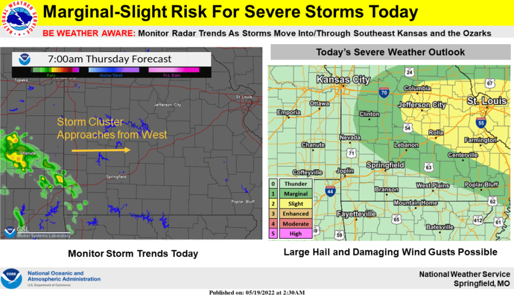
Original Story: Thunderstorms that tracked across northeast Oklahoma and eastern Kansas have moved across parts of the Ozarks Thursday morning.
The National Weather Service says while nickel size hail is possible in several of these storms, quarter size hail and 60 mile per hour winds are possible in parts of northwestern Christian, northwestern Stone, Barry and Lawrence County, where a Severe Thunderstorm Warning has been issued until 8:00 a.m. Thursday.
We’ll keep you up to date with the latest warnings on 93-3 and A-M 560 KWTO.