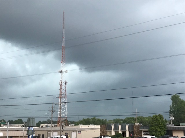
Severe thunderstorms have popped up Saturday afternoon in the southern and eastern Ozarks, with additional rounds of severe weather expected on Sunday.
The National Weather Service has issued Severe Thunderstorm Warning for parts of Taney, Stone, Ozark, Douglas, and Wright Counties.
We’ve had repots from law enforcement of a tree down at Highway 95 and Highway N near Rockbridge in Ozark County, along with reports of quarter size hail just east of Branson, pea to nickel size hail in Noble, and quarter size hail on Highway B in northern Douglas County
The public reported dime to quarter size hail just south of Mansfield coming down for nearly 15 minutes straights just after 4:00 p.m. .
At 3:50 p.m. Saturday, golf ball size hail was reported southeast of Hollister.
60 mile per hour winds and large hail are the biggest threats for Saturday afternoon’s storms, which may continue into the early evening hours.
For Sunday, forecasters say much of the Ozarks in in a Level 3 “enhanced” risk for severe weather from Sunday morning into the evening.
Large Hail greater than quarter size, damaging wins up to 70 miles per hour, and a low-end risk for a tornado are possible with Sunday’s storms.
Localized flooding will be possible Sunday morning into the evening, but widespread flooding is not expected. Rainfall amounts could reach one inch.
93-3 A-M 560 KWTO will keep you up to date with the latest watches and warnings.